The Institute of Technology Bandung (ITB) is one of Indonesia's public research universities, and it is also the country's oldest technological university. Since its establishment in 1920, ITB has been recognized as the premier STEM based academic institution in Indonesia, cultivating many renowned leaders in the fields of science, engineering, politics, business, academia, and culture. During the past two years, TIUL has also had a close partnership with ITB in research cooperation. In January 2023, the Center held a seminar with the Geodetic Society of the Republic of China on the development trend of international geodetic benchmarks and satellite geodesy, and conducted its first cooperation with Bandung University of Technology in Indonesia. At the cooperation conference, TIUL and ITB also discussed that in addition to continuing to hold relevant international measurement seminars, relevant ITB researchers could also be invited to Taiwan to exchange multi-level topics such as international measurement technology, environmental change issues caused by land development, disaster risk, and the rule of law in the future.
The Ikatan Surveyor Indonesia (ISI), founded in 1972, is a surveying and mapping professional association. ISI plays an active role in the development of the surveyor profession in Indonesia and supports the role of the surveyor profession in national development and its headquarter is in Jakarta.
The main work of the ISI Association is to promote the unity and communication of citizens engaged in geographical activities in Indonesia; promote and improve the level of related science and technology and participate in scientific activities at domestic and abroad area; use knowledge and technology to assist and advise the government in the development of surveying and mapping projects; actively cultivate and develop surveyors in Indonesia and give regular recognition and authorized professional certification. The main surveying and mapping work is, (1)Terrestrial Survey for making regional maps、(2)Hydrographic Survey、(3) Aerial Photograph Survey、(4)Satellite Image Survey、(5)Cadastral Survey、(6)Geographic Information System ( GIS ).
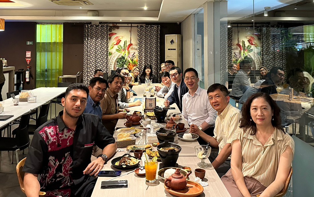
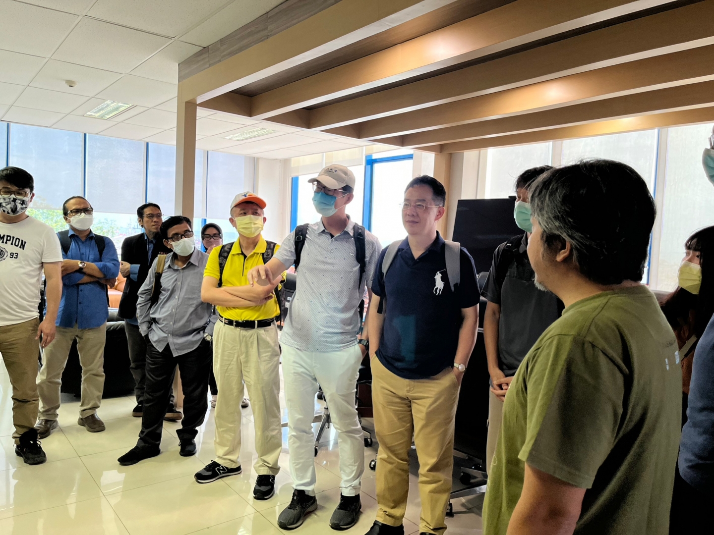
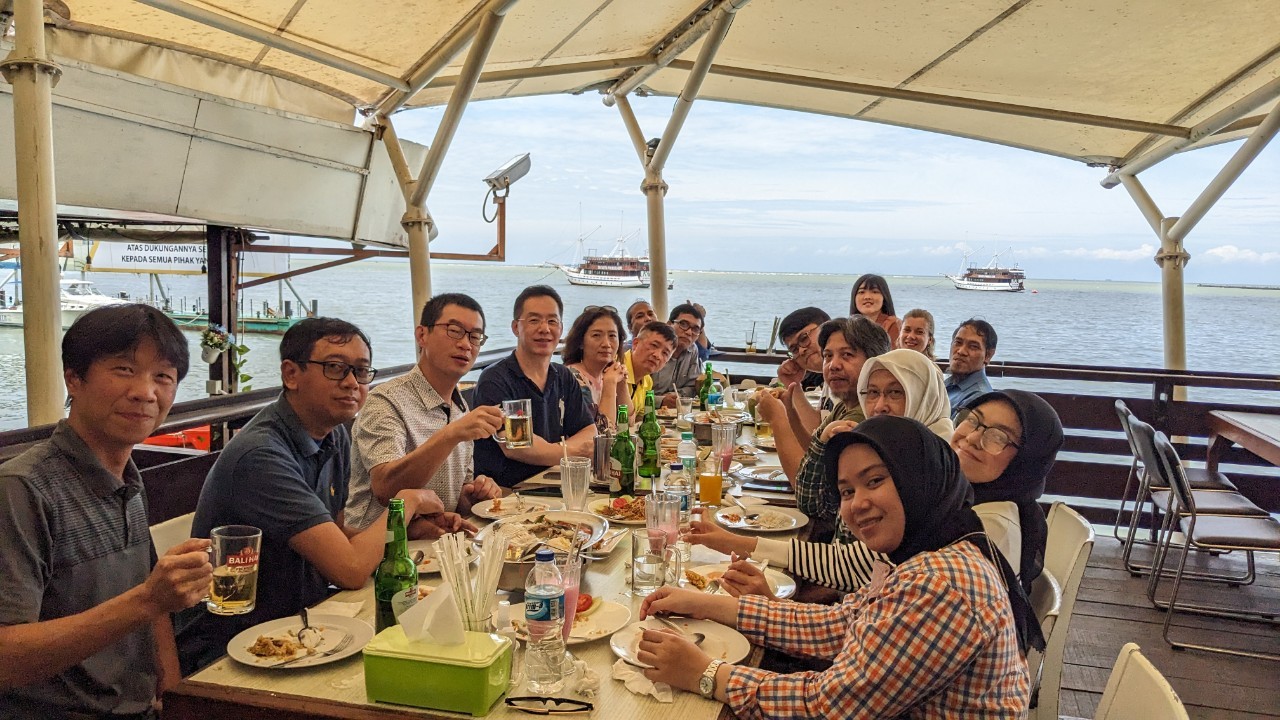
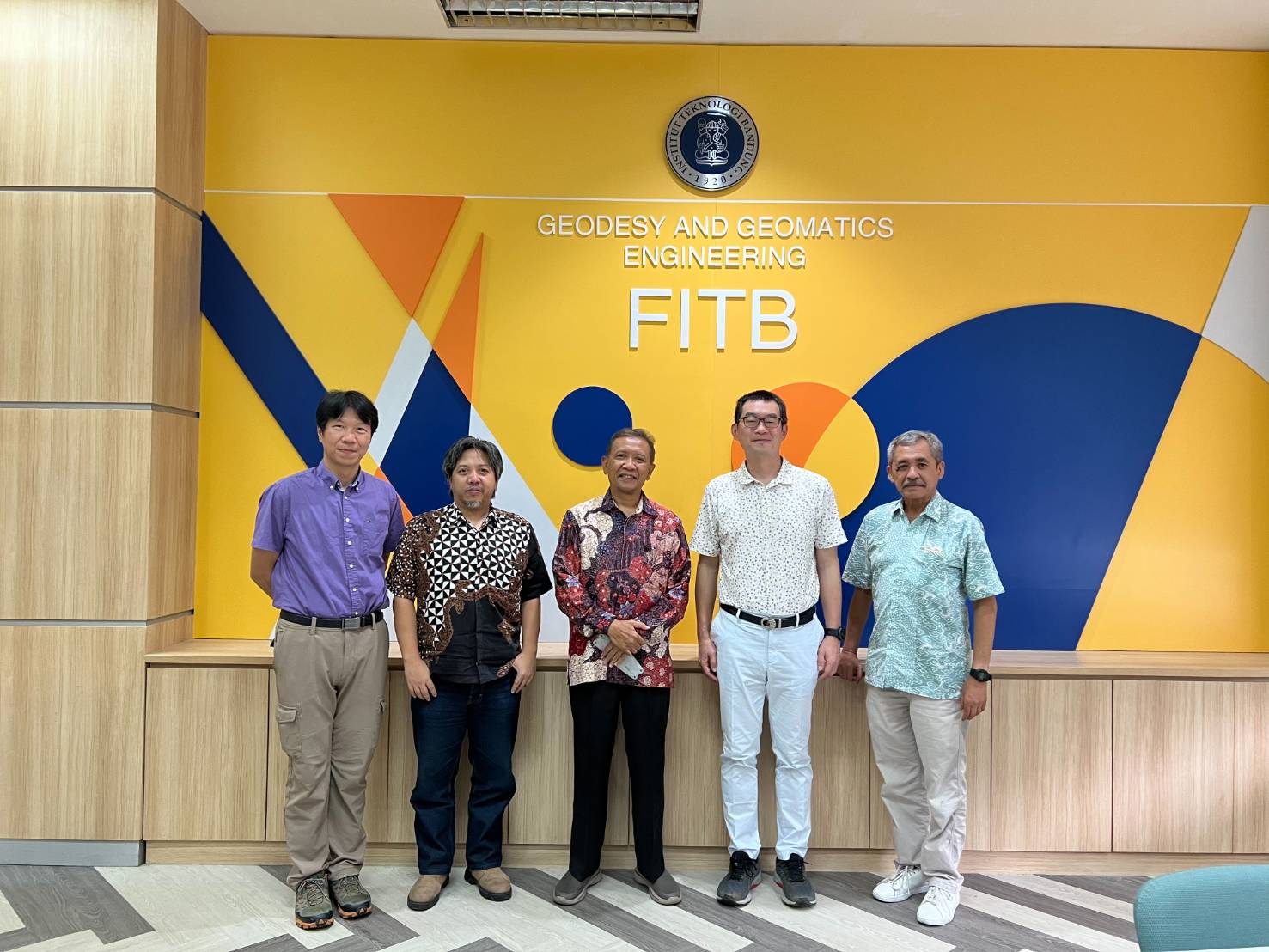
Therefore, on February 28th , TIUL went to the Bandung Institute of Technology (ITB) in Bandung and visited the former director of the Surveying and Mapping Bureau , Prof. Heri Andreas, a professor of geodetic engineering at the School of Earth Science and Technology. And we also visited the Secretary General of the Ikatan Surveyor Indonesia (ISI), Amri Chatib and other members. Three teams of us shared the experience and achievements of Taiwan and Indonesia in space surveying and mapping technology together.
During the process, the Secretary General of the Ikatan Surveyor Indonesia, Amri Chatib, mentioned that the Indonesian government has attached great importance to the development of mapping infrastructure and human resources such as "National Base map" and "Disaster Management" in recent years. And he said the Indonesian Association of Surveyors was established in 1972, and currently has more than 6000 members. It is the only surveying organization in the country, with influence throughout the national surveying and mapping related industries. It is also a member of the International Federation of Surveyors (FIG). ISI has established the ISI Professional Certification Body (LSP) since 2017, which has been recognized by the National Accreditation Committee of Indonesia (KAN) and licensed by the National Professional Certification Agency (BNSP). Therefore, the Professional Accreditation Service (LPS) is an important institution for ISI to cultivate human resources in surveying and mapping. However, there is still a process in which professional certification procedures and structures need to be adjusted, and it is expected to learn from and draw on the experience of the Chinese Mapping Federation in Taiwan.
Taiwan has long been deeply engaged in the development of space surveying and mapping technology, and has accumulated considerable executive experience and technical strength. In the current, new trend of scientific and technological innovation and sharing, the industry, government, and academic circles in the field of Surveying and Mapping are very willing to share relevant technologies and achievements, and look forward to joint exchanges with partners in Indonesia and other ASEAN countries in the future.
by Dr. Hsuan-Chang Shi